Where can I find an elevation profile of the Cohos trail?
1 Answer
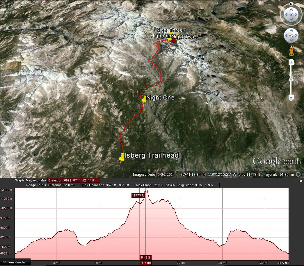
My suggestion would be to create a path in Google Earth and then view the elevation profile of the path.
Here is an example of what that would look like,
One caveat, Google Earth underestimates the steepness because instead of calculating slope as rise/run it uses rise/hypotenuse.
