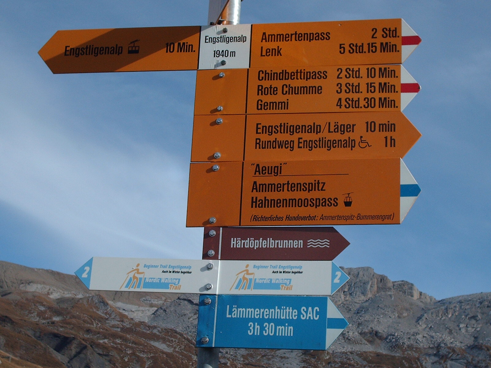
Knowing why distance was included or omitted in any particular instance requires asking the people that decided on that particular sign. In other words, in the general case, you don't know why.
I've been involved with specifying trail signs. One reason I can imagine that distances were omitted is because they weren't known with enough confidence to put them on a sign. A sign or a bunch of signs needed to get done, and nobody had time to go out and measure the trail distances. Another possibility is that whoever specified the sign just didn't feel it mattered.
I'm on the town Trails Committee, and am in the process of getting signs put up at trail intersections. This is more work and more complicated than most people would expect. We want distances for each destination, which means we have to actually know the distances first. GPS tracks can be OK, but are often not so good at measuring distance, especially when the trail is very curvy.
Before we can get signs made, I go out and get the length of every trail segment with a measuring wheel. The distances that go on the signs are often a summation of 10 or more individual trail segments. To avoid accumulating errors, I record the distance of each trail segment to 1/1000 mile. These are added up to get the distance to the destination for the trail sign, then rounded to the nearest 1/10 mile. With this process, we can be quite confident the result is accurate.
I can certainly see some organizations just skipping all that by not putting distances on signs.
I'll be giving a talk on this topic and trail mapping in general at the MA state Trails Conference later this year in November.
