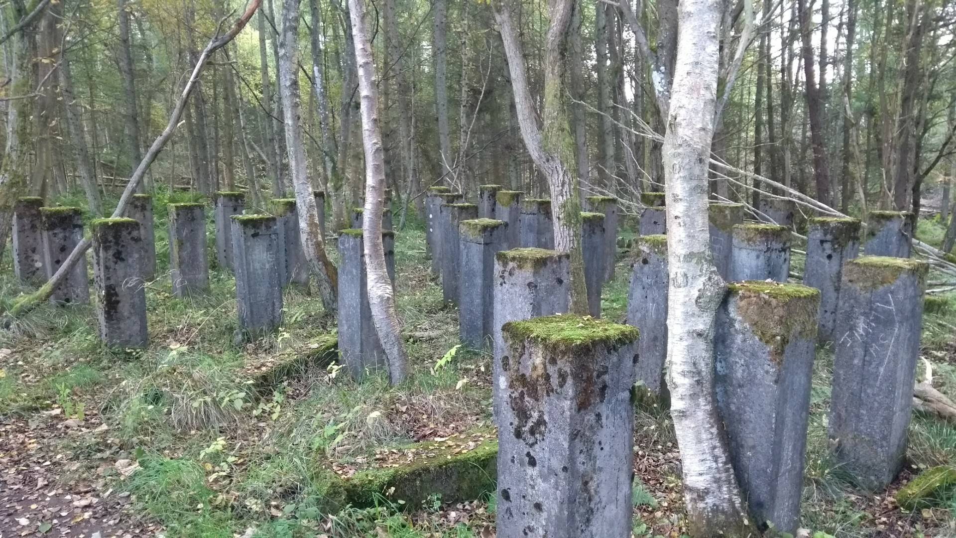
They appear to be part of a water tank.
I've found a 1954 OS map that describes buildings at that location as "tanks" -- a term also applied on the same map to the water tower itself. Earlier maps don't show them
The current OS map only shows the tower itself.
Without a scale so making very rough guesses as to the diameter of the silver birch trees, they've been there a decade or so according to this paper (which was looking at rather different terrain so we can only guess very roughly). Of course the trees may have been planted long after the structure was demolished.
Indeed this map from 1989 doesn't show anything except the main water tower (though something is present in 1979).
And that's as much as I can tell -- google has no archive news about Gallow Hill or Clatoo long enough ago to be relevant, and I can't find photos other than modern ones.
