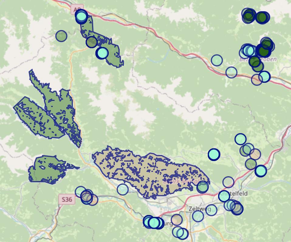
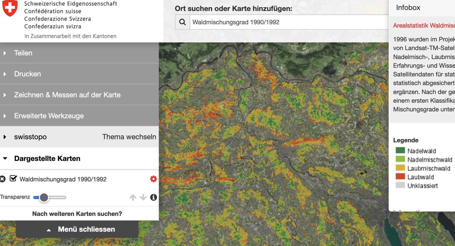
In planning my hikes, I would find it very useful to know where different types of forests are to be found across the map. Even having a basic distinction shown on the map between coniferous/needled forests (e.g. fir, pine) and deciduous/broadleaved forests (e.g. beech, oak) would be very helpful. For instance, it makes more sense to hike in pine forests on snowless winter days than in oak forests, if one has the choice.
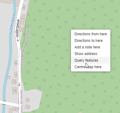
However, none of the major web-based mapping services I know of (Google Maps, OSM, Bing Maps, etc.) seem to offer this. OSM comes closest, in that it at least shows a repeating "forest" icon on the map:
However, even upon using "query features" for a given point on the map, the type of forest is never shown. Additional information is only shown for way types (paths, side-roads etc), but not for wild areas (shrubs, forests).
Pretty sure such mapping information on forest type exists at a smaller scale (e.g. local tourist maps, national park PDF maps, etc) - but is it also available on mapping websites that assemble such information over wide areas? Happy to pay for this service. My region of interest is Central Europe.


